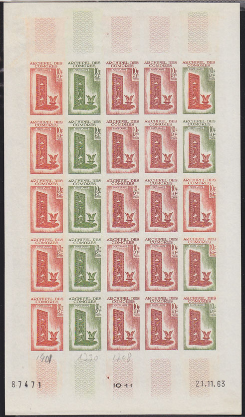
 COMORO ISLANDS (1963) Carved lamp*. Full sheet of 25 trial color proofs. Scott No 59, Yvert No 31.
AVAILABLE AT $325
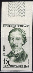 FRANCE (1958) Foucault*. Trial color proof. Foucault performed the experiment that disproved the corpuscular theory of light advocated by Newton, Laplace and Kepler. He also developed a regulator for the electric arc lamp that made electric lighting practical. Scott No 871, Yvert No 1148. Hard to find!
AVAILABLE AT $20
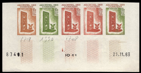 COMOROS (1963) Carved lamp*. Trial color proofs in strip of 5. Scott No 59, Yvert No 32.
AVAILABLE AT $75
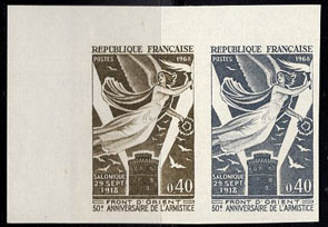 FRANCE (1968) "Victory" carrying torch*. Tower of Salonika emitting beams of light*. Trial color proof. Scott No 1221. Yvert No 1571.
AVAILABLE AT $30